Emphasizes effective flood management, sustainable development
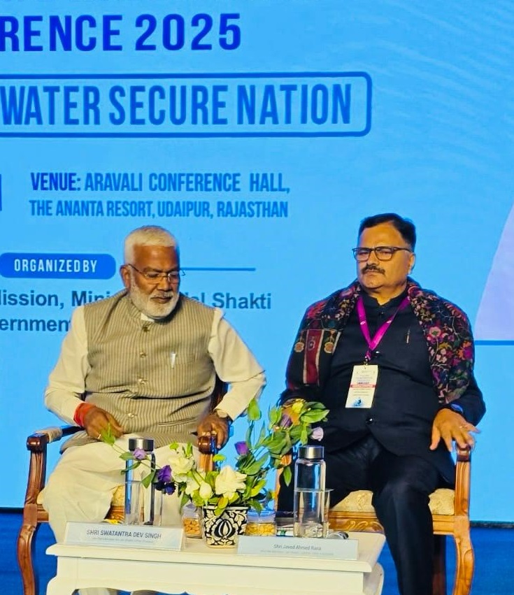
JAIPUR: Minister for Jal Shakti, Javed Ahmed Rana, today co-chaired a session on ‘Flood Plain Zoning’ in the second All India State Ministers’ Conference on Water at Udaipur, Rajasthan.
While speaking on the occasion, Javed Rana emphasized the need for adoption of flood plain zoning approach for comprehensive flood management and minimizing flood damage, ensuring a safe and more resilient region for the people.
“In Jammu and Kashmir, work on Flood Plain Zoning is being pursued vigorously aligning with the guidelines issued by the Ministry for Water Resources. It is a big step towards achieving the goal of effective flood management through a combination of structural and non-structural measures,” maintained the Minister.
The two day conference from February 18 to 19 themed “Water Vision@2047- A Water Secure Nation,” was organized by the National Water Mission, Ministry of Jal Shakti.
The session deliberated on the need for integrated river and coastal areas management highlighting strategies for basin level planning, integrating water and land use planning besides flood plain development and other measures
Rana highlighted that Jammu and Kashmir witnesses recurrent floods which gave rise to formulation of a comprehensive flood management plan to tackle the problem. He said that there is a need for judicious use of land, reducing the impact of floods and balancing the risk with the need of land for public good simultaneously. “Flood plain zoning” is not just about restrictions but regulating so that protecting people, property and nature is accorded top most priority,” he said. “The Governments both at the Union and at the UT level have to keep a focused approach on basic objectives of flood management like minimizing damage, protecting natural flood defense, encouraging sustainable development and lowering economic costs,” he added.
He also highlighted the initiatives being taken up by the government of Jammu and Kashmir for mitigating the impact of floods. He said that the government has installed modern gauge stations which transmit real time flood data to all stakeholders including the general public through a mobile app.
Another, important forecasting tool known as the Integrated Operation Forecasting System (IOFS) has also been developed under the World Bank funded JTFRP. It also provides forecasted flood inundation maps with extent and depth that help identify vulnerable areas so that the administration can take proactive actions, including evacuation of communities, if necessary.
Rana also expressed gratitude to the Ministry of Water Resources for holding this important conference to strengthen the collaboration with the states and UTs. “We can collectively work towards a future for minimizing the devastating impact of floods and achieving the vision of Water Secure India @ 2047”, asserted the Minister.