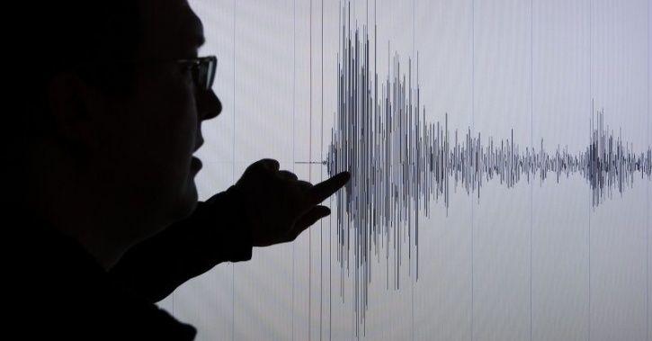
Kathmandu (Nepal): An earthquake of magnitude 6.0 shook Nepal on Sunday morning.
The quake took place 147 km ESE of Kathmandu, Nepal at 8.13 a.m IST around Martim Birta of Khotang district, according to the National Earthquake Monitoring and Research Centre (NEMRC).
The depth of the epicentre was monitored at 10 km in eastern Nepal, determined to be at 27.14 degrees North latitude and 86.67 degrees east longitude.
No damage or casualty has been reported so far.
The recent earthquakes in Nepal that caused unprecedented damage to lives and properties have necessitated the demand for well-framed policy measures to manage such disasters.
A high-intensity earthquake of magnitude 7.8 on the Richter scale struck central Nepal between its capital Kathmandu and the city of Pokhara on April 25, 2015. It is estimated to have killed 8,964 people and injured close to 22,000 people.
The earthquake, which was known as the Gorkha earthquake also shook several cities across north India and tremors were also felt in Lahore, Pakistan, Lhasa in Tibet, and in Dhaka, Bangladesh.
Following the quake, Kathmandu’s international airport was shut down.
The earthquake also triggered an avalanche on Mount Everest, killing 22 people. A major aftershock took place on May 12, 2015, the epicentre of this quake was near the Chinese border between Kathmandu and Mount Everest. It was estimated that over 200 people were killed in this quake and over 2,500 injured.
Nepal had suffered its worst recorded earthquake in 1934. It was measured at 8.0 and destroyed the cities of Kathmandu, Bhaktapur and Patan.
It has been established that the Indian plate is getting subducted under the Eurasian plate at 5 cm a year. This is responsible for the formation and increasing height of young fold mountains of the Himalayas but is also making the region prone to earthquakes. Disasters like quakes can wreak havoc if preparedness is not ample.


